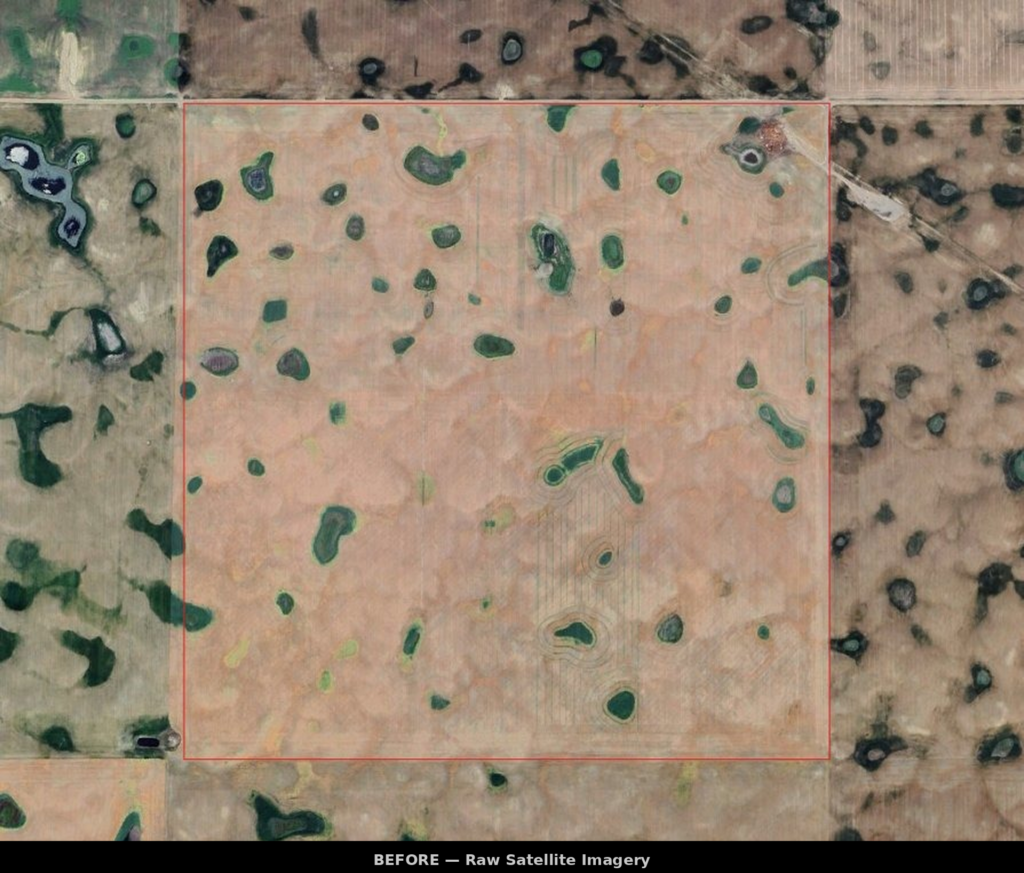
Most variable rate maps use simple grid sampling or a single data layer. Premium Ag’s approach is fundamentally different.
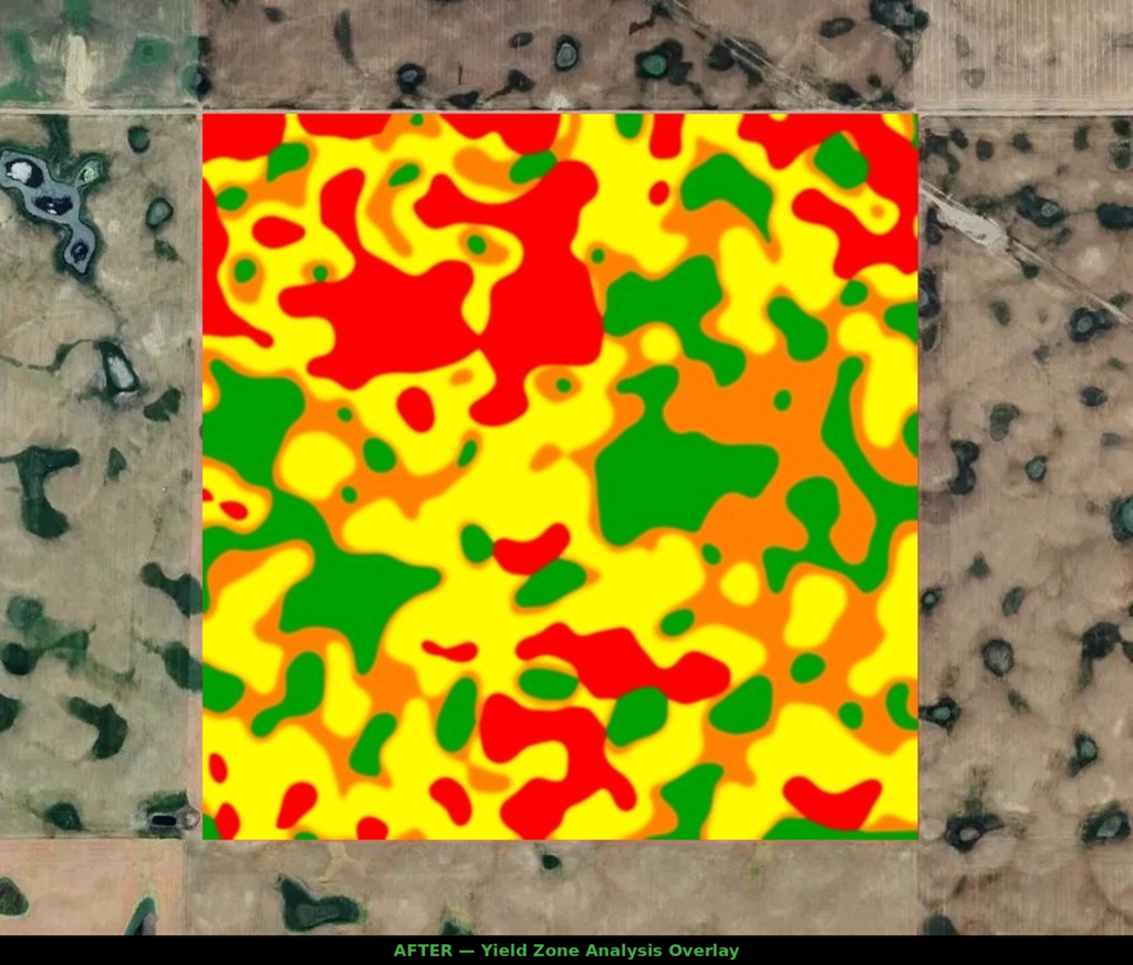
We fuse 10+ data layers — Sentinel-2 vegetation indices (NDVI, NDRE, EVI, SAVI, NDWI), Veris soil EC, and LiDAR-derived terrain parameters like slope, wetness potential, elevation, and curvature — and run them through advanced ML algorithms (K-Means, Fuzzy C-Means, PCA) to find natural groupings.
The result: irregular, organic zones that follow real soil and terrain boundaries, not arbitrary rectangles. Intensive research verified strong trends in soil texture, nutrient content, and organic matter between zones.